Churchyard, St Illtyd
Introduction
The photograph on this page of Churchyard, St Illtyd by M J Roscoe as part of the Geograph project.
The Geograph project started in 2005 with the aim of publishing, organising and preserving representative images for every square kilometre of Great Britain, Ireland and the Isle of Man.

There are currently over 7.5m images from over 14,400 individuals and you can help contribute to the project by visiting https://www.geograph.org.uk
Churchyard, St Illtyd
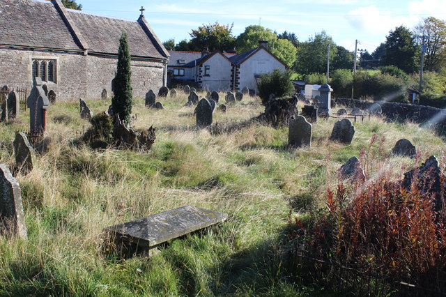
Image: © M J Roscoe Taken: 19 Sep 2017
The southeast part of the graveyard just before the summer's growth was cut and removed by a Gwent Wildlife Trust working party to promote the growth of wild flowers. The Carpenters Arms in the background adjoins the churchyard. The deconsecrated church is grade II* listed.
Images are licensed for reuse under creativecommons.org/licenses/by-sa/2.0
Image Location
Latitude
51.710813
Longitude
-3.133063