Keelman's Way east of the Metro Centre
Introduction
The photograph on this page of Keelman's Way east of the Metro Centre by Oliver Dixon as part of the Geograph project.
The Geograph project started in 2005 with the aim of publishing, organising and preserving representative images for every square kilometre of Great Britain, Ireland and the Isle of Man.

There are currently over 7.5m images from over 14,400 individuals and you can help contribute to the project by visiting https://www.geograph.org.uk
Keelman's Way east of the Metro Centre
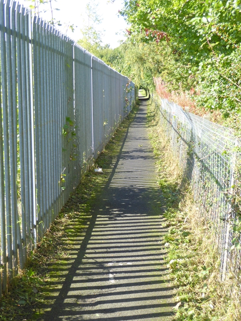
Image: © Oliver Dixon Taken: 19 Sep 2017
The Keelman's Way (National Cycle Network route 14) following a narrow corridor to the east of the Intu Metro Centre.
Images are licensed for reuse under creativecommons.org/licenses/by-sa/2.0
Image Location
Latitude
54.958285
Longitude
-1.660945