Putachie Path, Turriff
Introduction
The photograph on this page of Putachie Path, Turriff by Bill Harrison as part of the Geograph project.
The Geograph project started in 2005 with the aim of publishing, organising and preserving representative images for every square kilometre of Great Britain, Ireland and the Isle of Man.

There are currently over 7.5m images from over 14,400 individuals and you can help contribute to the project by visiting https://www.geograph.org.uk
Putachie Path, Turriff
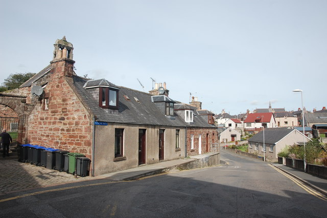
Image: © Bill Harrison Taken: 17 Sep 2016
The unusually-named street plunges sharply down past the early 19th Century C-listed cottages: http://portal.historicenvironment.scot/designation/LB42165 (listed building designation LB42165).
Images are licensed for reuse under creativecommons.org/licenses/by-sa/2.0
Image Location
Latitude
57.537836
Longitude
-2.465324