Bench mark in Manor Road, Teddington
Introduction
The photograph on this page of Bench mark in Manor Road, Teddington by John S Turner as part of the Geograph project.
The Geograph project started in 2005 with the aim of publishing, organising and preserving representative images for every square kilometre of Great Britain, Ireland and the Isle of Man.

There are currently over 7.5m images from over 14,400 individuals and you can help contribute to the project by visiting https://www.geograph.org.uk
Bench mark in Manor Road, Teddington
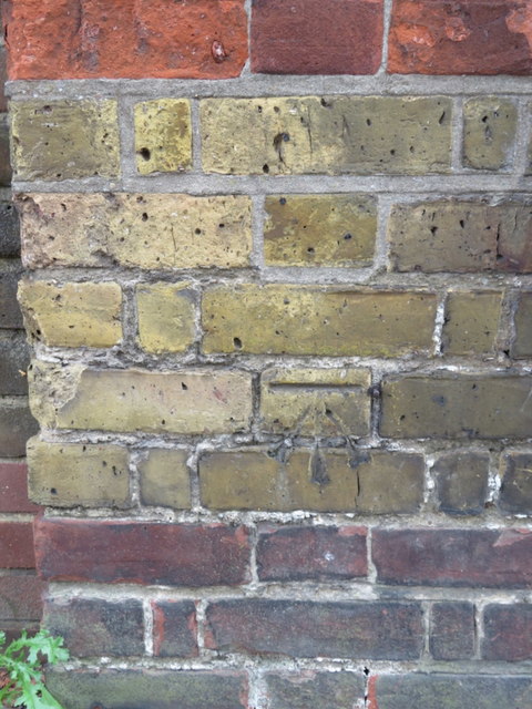
Image: © John S Turner Taken: 16 Sep 2017
This Ordnance Survey bench mark is on a wall buttress in Manor Road near its junction with Ferry Road. See also Image
Images are licensed for reuse under creativecommons.org/licenses/by-sa/2.0
Image Location
Latitude
51.428989
Longitude
-0.324184