Pipes for Birmingham Resilience Project, near Burlish Top Nature Reserve, Stourport-on-Severn
Introduction
The photograph on this page of Pipes for Birmingham Resilience Project, near Burlish Top Nature Reserve, Stourport-on-Severn by P L Chadwick as part of the Geograph project.
The Geograph project started in 2005 with the aim of publishing, organising and preserving representative images for every square kilometre of Great Britain, Ireland and the Isle of Man.

There are currently over 7.5m images from over 14,400 individuals and you can help contribute to the project by visiting https://www.geograph.org.uk
Pipes for Birmingham Resilience Project, near Burlish Top Nature Reserve, Stourport-on-Severn
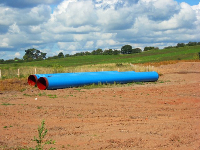
Image: © P L Chadwick Taken: 2 Sep 2017
The pipes will be laid as part of a 25km pipeline from the River Severn at Lickhill (Stourport-on-Severn) to Frankley Water Treatment Works. The scheme is known as the Birmingham Resilience Project. See:- Image The land here used to be a landfill site.
Images are licensed for reuse under creativecommons.org/licenses/by-sa/2.0
Image Location
Latitude
52.359029
Longitude
-2.287319