Y Bwlwarcau
Introduction
The photograph on this page of Y Bwlwarcau by Alan Hughes as part of the Geograph project.
The Geograph project started in 2005 with the aim of publishing, organising and preserving representative images for every square kilometre of Great Britain, Ireland and the Isle of Man.

There are currently over 7.5m images from over 14,400 individuals and you can help contribute to the project by visiting https://www.geograph.org.uk
Y Bwlwarcau
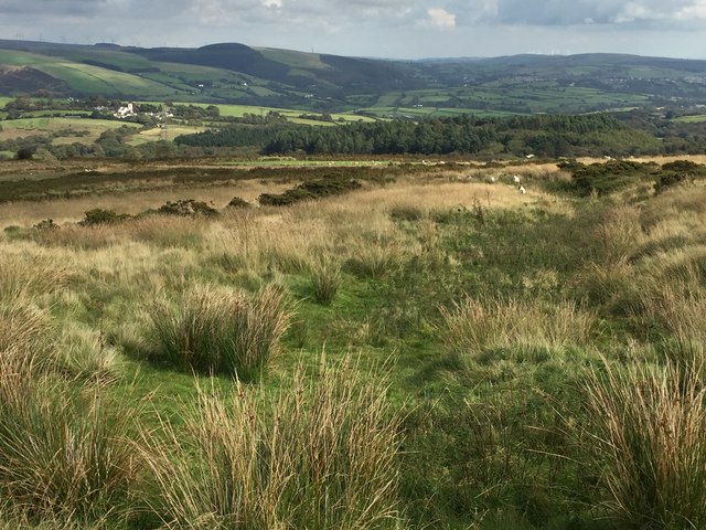
Image: © Alan Hughes Taken: 19 Sep 2017
An Iron Age Hillfort, on Mynydd Margam above Maesteg. The lines of gorse help to define the bulwarks which give the site its Welsh name. Identification is much easier via aerial photography. See https://coflein.gov.uk/en/site/301303/images.
Images are licensed for reuse under creativecommons.org/licenses/by-sa/2.0
Image Location
Latitude
51.582904
Longitude
-3.677623