Heol Pant y Gored near Creigiau
Introduction
The photograph on this page of Heol Pant y Gored near Creigiau by Jaggery as part of the Geograph project.
The Geograph project started in 2005 with the aim of publishing, organising and preserving representative images for every square kilometre of Great Britain, Ireland and the Isle of Man.

There are currently over 7.5m images from over 14,400 individuals and you can help contribute to the project by visiting https://www.geograph.org.uk
Heol Pant y Gored near Creigiau
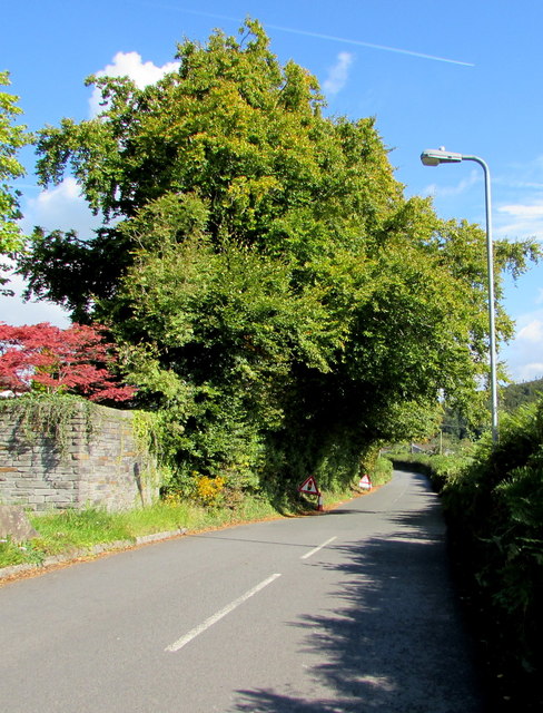
Image: © Jaggery Taken: 19 Sep 2017
The road named Heol Pant y Gored heads northeast away from Cardiff Road near Creigiau. Pointing this way, a nearby sign http://www.geograph.org.uk/photo/5542365 shows 1½ (miles) to Pentyrch, 3½ to Efailisaf.
Images are licensed for reuse under creativecommons.org/licenses/by-sa/2.0
Image Location
Latitude
51.516413
Longitude
-3.314003