Beeching Close
Introduction
The photograph on this page of Beeching Close by Jonathan Thacker as part of the Geograph project.
The Geograph project started in 2005 with the aim of publishing, organising and preserving representative images for every square kilometre of Great Britain, Ireland and the Isle of Man.

There are currently over 7.5m images from over 14,400 individuals and you can help contribute to the project by visiting https://www.geograph.org.uk
Beeching Close
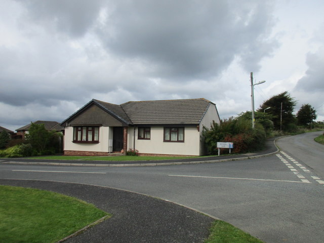
Image: © Jonathan Thacker Taken: 18 Sep 2017
Inevitably named after the closure of all the railway lines through Halwill Junction following the Beeching Report.
Images are licensed for reuse under creativecommons.org/licenses/by-sa/2.0
Image Location
Latitude
50.779453
Longitude
-4.208591