The valley of The Mouse at Wilsontown
Introduction
The photograph on this page of The valley of The Mouse at Wilsontown by M J Richardson as part of the Geograph project.
The Geograph project started in 2005 with the aim of publishing, organising and preserving representative images for every square kilometre of Great Britain, Ireland and the Isle of Man.

There are currently over 7.5m images from over 14,400 individuals and you can help contribute to the project by visiting https://www.geograph.org.uk
The valley of The Mouse at Wilsontown
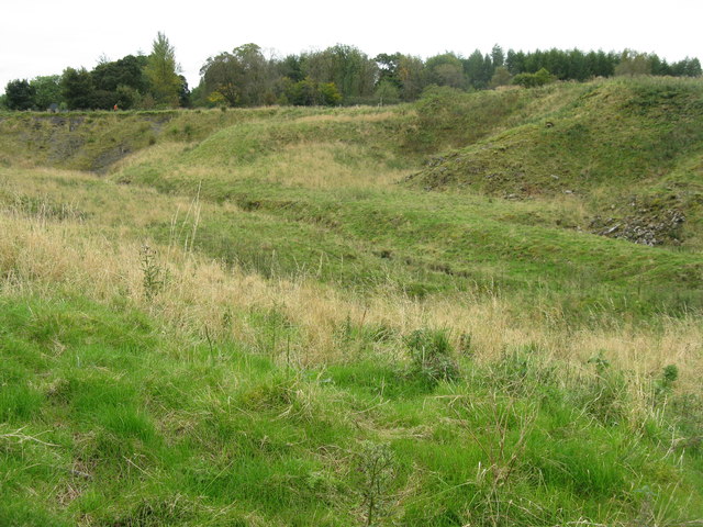
Image: © M J Richardson Taken: 17 Sep 2017
This valley was the centre of the historic ironworks, with the furnaces, rolling mills, engine house and offices on either side of the stream. Rows of houses were on either side.
Images are licensed for reuse under creativecommons.org/licenses/by-sa/2.0
Image Location


Leaflet Map data © OpenStreetMap
Latitude
55.77698
Longitude
-3.675221