A60 Mansfield Road east of Papplewick
Introduction
The photograph on this page of A60 Mansfield Road east of Papplewick by Richard Vince as part of the Geograph project.
The Geograph project started in 2005 with the aim of publishing, organising and preserving representative images for every square kilometre of Great Britain, Ireland and the Isle of Man.

There are currently over 7.5m images from over 14,400 individuals and you can help contribute to the project by visiting https://www.geograph.org.uk
A60 Mansfield Road east of Papplewick
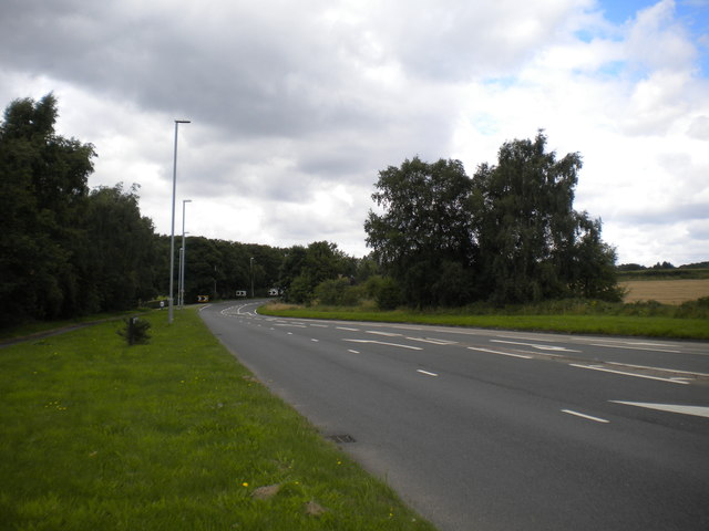
Image: © Richard Vince Taken: 12 Aug 2017
Looking towards Mansfield from the junction with the B6011 Forest Lane, hence the multiple lanes visible on the right.
Images are licensed for reuse under creativecommons.org/licenses/by-sa/2.0
Image Location
Latitude
53.053962
Longitude
-1.153298