River Arrow at Gunnings Bridge
Introduction
The photograph on this page of River Arrow at Gunnings Bridge by Derek Harper as part of the Geograph project.
The Geograph project started in 2005 with the aim of publishing, organising and preserving representative images for every square kilometre of Great Britain, Ireland and the Isle of Man.

There are currently over 7.5m images from over 14,400 individuals and you can help contribute to the project by visiting https://www.geograph.org.uk
River Arrow at Gunnings Bridge
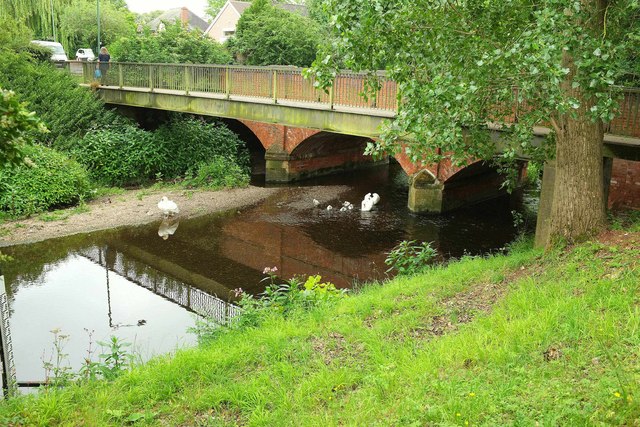
Image: © Derek Harper Taken: 28 Jun 2017
Showing the swan and cygnets seen in Image The Arden Way, Monarch's Way and Heart of England Way all use the footbridge, which is seen from another direction in Image The road bridge beyond is listed and described at https://www.historicengland.org.uk/listing/the-list/list-entry/1183442 .
Images are licensed for reuse under creativecommons.org/licenses/by-sa/2.0
Image Location
Latitude
52.217439
Longitude
-1.867928