The centre of this image is at Sampson's Plantation, Fremington
Introduction
The photograph on this page of The centre of this image is at Sampson's Plantation, Fremington by Roger A Smith as part of the Geograph project.
The Geograph project started in 2005 with the aim of publishing, organising and preserving representative images for every square kilometre of Great Britain, Ireland and the Isle of Man.

There are currently over 7.5m images from over 14,400 individuals and you can help contribute to the project by visiting https://www.geograph.org.uk
The centre of this image is at Sampson's Plantation, Fremington
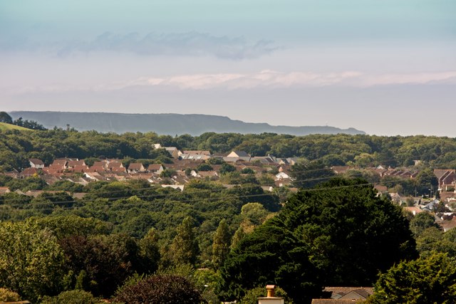
Image: © Roger A Smith Taken: 28 Aug 2017
In the distance is the Civil Aviation Authority radar at Hartland Point
Images are licensed for reuse under creativecommons.org/licenses/by-sa/2.0
Image Location


Leaflet Map data © OpenStreetMap
Latitude
51.06859
Longitude
-4.136188