The northern end of Linton Gardens, Hastings
Introduction
The photograph on this page of The northern end of Linton Gardens, Hastings by Patrick Roper as part of the Geograph project.
The Geograph project started in 2005 with the aim of publishing, organising and preserving representative images for every square kilometre of Great Britain, Ireland and the Isle of Man.

There are currently over 7.5m images from over 14,400 individuals and you can help contribute to the project by visiting https://www.geograph.org.uk
The northern end of Linton Gardens, Hastings
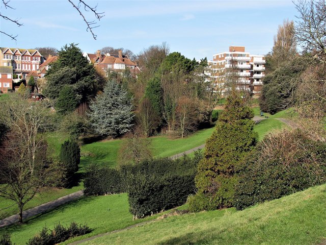
Image: © Patrick Roper Taken: 5 Feb 2007
The houses on the left are in Linton Road and the apartment block centre right is Linden Court.
Images are licensed for reuse under creativecommons.org/licenses/by-sa/2.0
Image Location


Leaflet Map data © OpenStreetMap
Latitude
50.861036
Longitude
0.572936