Judging the dogs in Perton
Introduction
The photograph on this page of Judging the dogs in Perton by John M as part of the Geograph project.
The Geograph project started in 2005 with the aim of publishing, organising and preserving representative images for every square kilometre of Great Britain, Ireland and the Isle of Man.

There are currently over 7.5m images from over 14,400 individuals and you can help contribute to the project by visiting https://www.geograph.org.uk
Judging the dogs in Perton
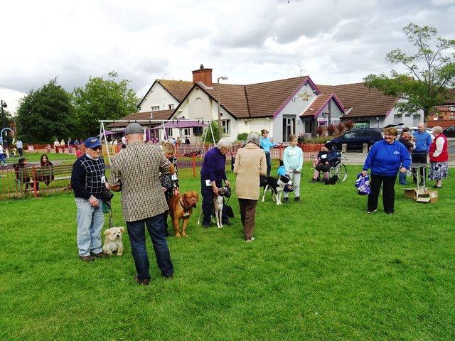
Image: © John M Taken: 16 Sep 2017
Perton is not a place that you visit by chance. Built on a former airfield in the 1970s with a population of 11500 it would seem a model for proposed garden villages. There is a single road in leading onto a circular gyratory with the village centre and pool in the heart. I saw a single pub and the overall impression is somewhere lost in the 1980s with a village produce show and best mongrel competition. The village is contiguous with the Wolverhampton boundary and buses use a dedicated rear access to save an around three mile drive to the main road.
Images are licensed for reuse under creativecommons.org/licenses/by-sa/2.0
Image Location
Latitude
52.594469
Longitude
-2.204417