Condover Bridge
Introduction
The photograph on this page of Condover Bridge by Richard Law as part of the Geograph project.
The Geograph project started in 2005 with the aim of publishing, organising and preserving representative images for every square kilometre of Great Britain, Ireland and the Isle of Man.

There are currently over 7.5m images from over 14,400 individuals and you can help contribute to the project by visiting https://www.geograph.org.uk
Condover Bridge
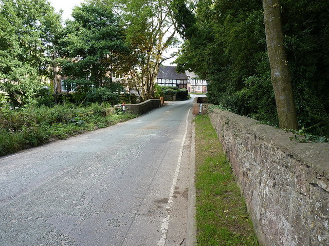
Image: © Richard Law Taken: 2 Sep 2017
A view of the same bridge seen in Image, but from road level. The bridge dates from the early 19th century, and was Grade II listed https://www.britishlistedbuildings.co.uk/101366661-condover-bridge-condover in 1986. Some of the stones in the parapet walls have been replaced quite recently.
Images are licensed for reuse under creativecommons.org/licenses/by-sa/2.0
Image Location


Leaflet Map data © OpenStreetMap
Latitude
52.64791
Longitude
-2.751252