Under the flyover, Brent Cross
Introduction
The photograph on this page of Under the flyover, Brent Cross by Christopher Hilton as part of the Geograph project.
The Geograph project started in 2005 with the aim of publishing, organising and preserving representative images for every square kilometre of Great Britain, Ireland and the Isle of Man.

There are currently over 7.5m images from over 14,400 individuals and you can help contribute to the project by visiting https://www.geograph.org.uk
Under the flyover, Brent Cross
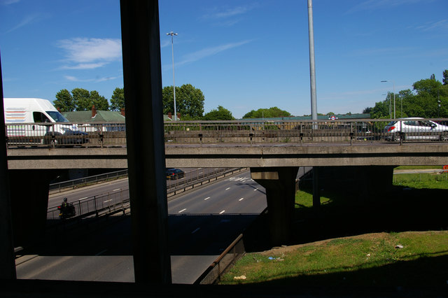
Image: © Christopher Hilton Taken: 22 May 2017
Taken from the footbridge suspended below the flyover at Brent Cross, this image shows the North Circular Road at the bottom level and, level with the camera, part of the roundabout that allows traffic to pass between the two main roads.
Images are licensed for reuse under creativecommons.org/licenses/by-sa/2.0
Image Location
Latitude
51.576971
Longitude
-0.2183