The Hut
Introduction
The photograph on this page of The Hut by Bob Harvey as part of the Geograph project.
The Geograph project started in 2005 with the aim of publishing, organising and preserving representative images for every square kilometre of Great Britain, Ireland and the Isle of Man.

There are currently over 7.5m images from over 14,400 individuals and you can help contribute to the project by visiting https://www.geograph.org.uk
The Hut
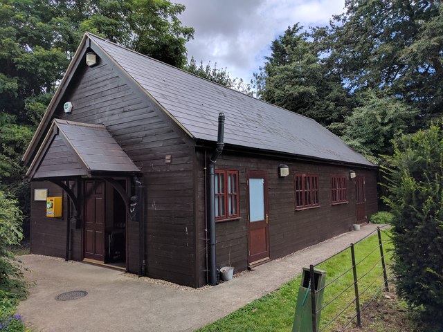
Image: © Bob Harvey Taken: 5 Aug 2017
Known to the Village as "The Hut" this is the village Hut, a replacement opened in 2005 for the older hut on the same place.
Images are licensed for reuse under creativecommons.org/licenses/by-sa/2.0
Image Location
Latitude
52.923333
Longitude
-0.316299