Durant Farmhouse, 27 Main Street, Barrowden
Introduction
The photograph on this page of Durant Farmhouse, 27 Main Street, Barrowden by Jo and Steve Turner as part of the Geograph project.
The Geograph project started in 2005 with the aim of publishing, organising and preserving representative images for every square kilometre of Great Britain, Ireland and the Isle of Man.

There are currently over 7.5m images from over 14,400 individuals and you can help contribute to the project by visiting https://www.geograph.org.uk
Durant Farmhouse, 27 Main Street, Barrowden
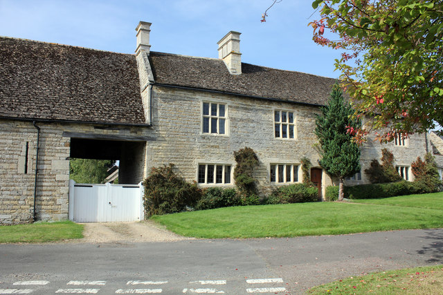
Image: © Jo and Steve Turner Taken: 28 Aug 2017
Late 16th or early 17th century Grade II* Listed house. The listing includes the barn partly in view to the left Image A John Durant who died in 1552 held land in Barrowden and his son Rowland died in 1588 and grandson George in 1594 any of whom could have been responsible for the house.
Images are licensed for reuse under creativecommons.org/licenses/by-sa/2.0
Image Location
Latitude
52.590218
Longitude
-0.605743