Bexhill town centre at London Road
Introduction
The photograph on this page of Bexhill town centre at London Road by Patrick Roper as part of the Geograph project.
The Geograph project started in 2005 with the aim of publishing, organising and preserving representative images for every square kilometre of Great Britain, Ireland and the Isle of Man.

There are currently over 7.5m images from over 14,400 individuals and you can help contribute to the project by visiting https://www.geograph.org.uk
Bexhill town centre at London Road
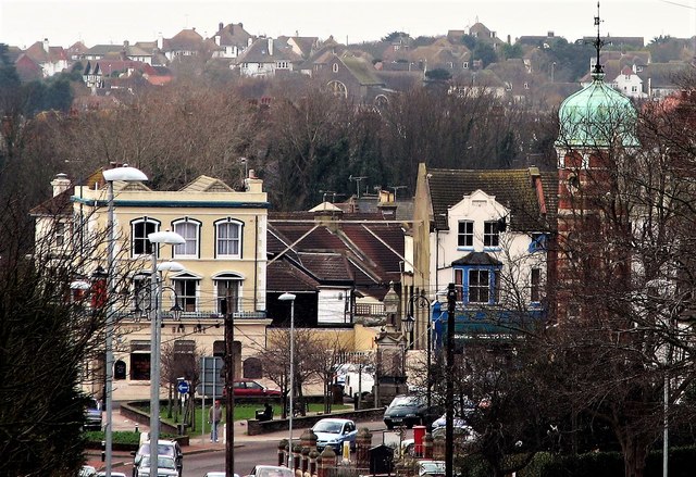
Image: © Patrick Roper Taken: 29 Jan 2007
The white building on the left is now (2017) the Town House pub and restaurant. The tower on the right is part of the old NatWest building in Buckingham Road now partly the premises used by the Rother Community Hub.
Images are licensed for reuse under creativecommons.org/licenses/by-sa/2.0
Image Location
Latitude
50.841232
Longitude
0.469711