Looking down Chapel Lane, Balscote
Introduction
The photograph on this page of Looking down Chapel Lane, Balscote by Chris Brown as part of the Geograph project.
The Geograph project started in 2005 with the aim of publishing, organising and preserving representative images for every square kilometre of Great Britain, Ireland and the Isle of Man.

There are currently over 7.5m images from over 14,400 individuals and you can help contribute to the project by visiting https://www.geograph.org.uk
Looking down Chapel Lane, Balscote
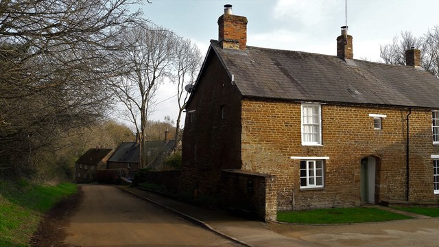
Image: © Chris Brown Taken: 23 Mar 2017
Balscote Grange Farmhouse is on the right, incorporating some 15th or 16th century work as the doorway suggests.
Images are licensed for reuse under creativecommons.org/licenses/by-sa/2.0
Image Location
Latitude
52.072824
Longitude
-1.429345