Giant's Grave Cemetery
Introduction
The photograph on this page of Giant's Grave Cemetery by Alan Hughes as part of the Geograph project.
The Geograph project started in 2005 with the aim of publishing, organising and preserving representative images for every square kilometre of Great Britain, Ireland and the Isle of Man.

There are currently over 7.5m images from over 14,400 individuals and you can help contribute to the project by visiting https://www.geograph.org.uk
Giant's Grave Cemetery
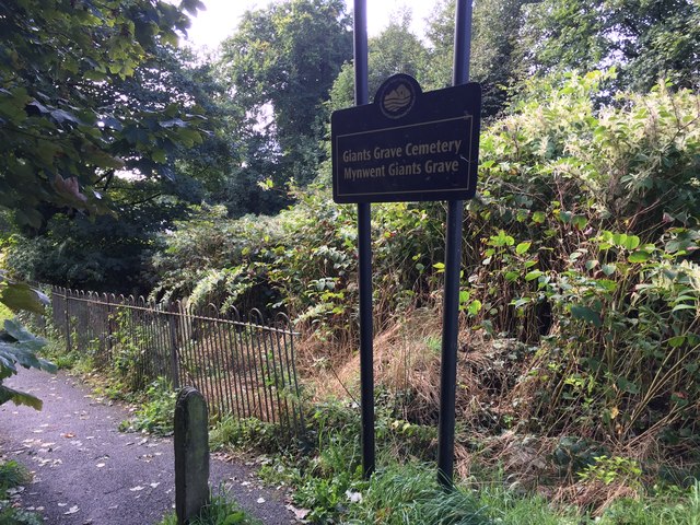
Image: © Alan Hughes Taken: 14 Sep 2017
Giant's Grave, the Briton Ferry dock at the mouth of the River Neath, is so named because it is where many WW2 warships were scrapped.
Images are licensed for reuse under creativecommons.org/licenses/by-sa/2.0
Image Location
Latitude
51.640033
Longitude
-3.826275