Listed barn at Hill Top farm
Introduction
The photograph on this page of Listed barn at Hill Top farm by Richard Law as part of the Geograph project.
The Geograph project started in 2005 with the aim of publishing, organising and preserving representative images for every square kilometre of Great Britain, Ireland and the Isle of Man.

There are currently over 7.5m images from over 14,400 individuals and you can help contribute to the project by visiting https://www.geograph.org.uk
Listed barn at Hill Top farm
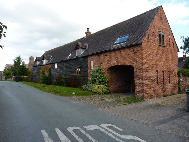
Image: © Richard Law Taken: 2 Sep 2017
An early 17th century timber-framed barn, much altered over the years but Grade II listed https://www.britishlistedbuildings.co.uk/101366660-barn-approximately-10m-south-of-hill-top-farmhouse-condover#.WbrtY9QrLGg in 1986.
Images are licensed for reuse under creativecommons.org/licenses/by-sa/2.0
Image Location
Latitude
52.628362
Longitude
-2.757418