Harriets Pumping Engine house, Dolcoath
Introduction
The photograph on this page of Harriets Pumping Engine house, Dolcoath by JThomas as part of the Geograph project.
The Geograph project started in 2005 with the aim of publishing, organising and preserving representative images for every square kilometre of Great Britain, Ireland and the Isle of Man.

There are currently over 7.5m images from over 14,400 individuals and you can help contribute to the project by visiting https://www.geograph.org.uk
Harriets Pumping Engine house, Dolcoath
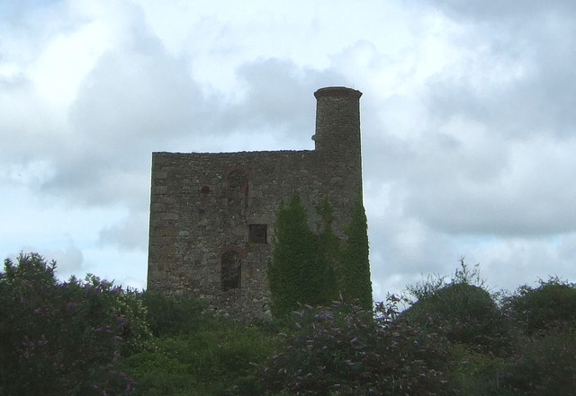
Image: © JThomas Taken: 10 Jul 2017
Was part of Cornwall's last tin mine of the twentieth century.
Images are licensed for reuse under creativecommons.org/licenses/by-sa/2.0
Image Location


Leaflet Map data © OpenStreetMap
Latitude
50.214688
Longitude
-5.285086