Bridle Path to the B1025
Introduction
The photograph on this page of Bridle Path to the B1025 by Glyn Baker as part of the Geograph project.
The Geograph project started in 2005 with the aim of publishing, organising and preserving representative images for every square kilometre of Great Britain, Ireland and the Isle of Man.

There are currently over 7.5m images from over 14,400 individuals and you can help contribute to the project by visiting https://www.geograph.org.uk
Bridle Path to the B1025
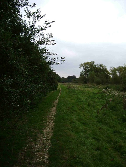
Image: © Glyn Baker Taken: 18 Sep 2005
This is a bridle path that runs from the Abberton Rd near the reservoir dam to the B1025 Mersea Rd.
Images are licensed for reuse under creativecommons.org/licenses/by-sa/2.0
Image Location


Leaflet Map data © OpenStreetMap
Latitude
51.843918
Longitude
0.891858