Oughtonhead Farmhouse
Introduction
The photograph on this page of Oughtonhead Farmhouse by John Lucas as part of the Geograph project.
The Geograph project started in 2005 with the aim of publishing, organising and preserving representative images for every square kilometre of Great Britain, Ireland and the Isle of Man.

There are currently over 7.5m images from over 14,400 individuals and you can help contribute to the project by visiting https://www.geograph.org.uk
Oughtonhead Farmhouse
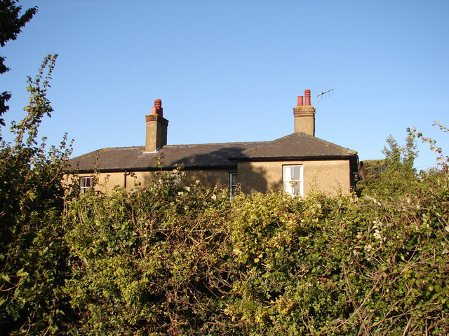
Image: © John Lucas Taken: 20 Sep 2006
A glimpse of the farmhouse from the adjacent public path. The house was built for William Lucas in 1846. Its purpose was to accommodate the Oughtonhead Farm Baliff at the time that the Lucas family had consolidated its farming holdings in the Oughtonhead and Gaping Hills area. The family had started to acquire farmland around Hitchin from 1736 but at that time the land was managed under the open field system with many scattered pieces. Various enclosure acts allowed the family to form more efficient contiguous field blocks and by the 1840s they were in a position to develop Oughtonhead as a single farm.
Images are licensed for reuse under creativecommons.org/licenses/by-sa/2.0
Image Location
Latitude
51.953252
Longitude
-0.307183