The 'Crooked Billet', Worsthorne, Lancashire
Introduction
The photograph on this page of The 'Crooked Billet', Worsthorne, Lancashire by Dr Neil Clifton as part of the Geograph project.
The Geograph project started in 2005 with the aim of publishing, organising and preserving representative images for every square kilometre of Great Britain, Ireland and the Isle of Man.

There are currently over 7.5m images from over 14,400 individuals and you can help contribute to the project by visiting https://www.geograph.org.uk
The 'Crooked Billet', Worsthorne, Lancashire
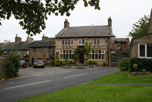
Image: © Dr Neil Clifton Taken: 8 Sep 2007
Slightly away from the main square at the end of Water Street, this may well be the pub. of choice for those who have always lived in Worsthorne. Lovely floral decorations outside. Two cask ales...
Images are licensed for reuse under creativecommons.org/licenses/by-sa/2.0
Image Location
Latitude
53.788668
Longitude
-2.189238