Exposed rocks west of Ryde
Introduction
The photograph on this page of Exposed rocks west of Ryde by Paul Coueslant as part of the Geograph project.
The Geograph project started in 2005 with the aim of publishing, organising and preserving representative images for every square kilometre of Great Britain, Ireland and the Isle of Man.

There are currently over 7.5m images from over 14,400 individuals and you can help contribute to the project by visiting https://www.geograph.org.uk
Exposed rocks west of Ryde
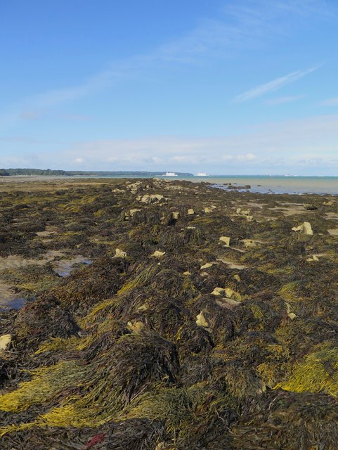
Image: © Paul Coueslant Taken: 13 Sep 2017
Low tide reveals this seaweed-strewn line of rocks around 25 metres from the shoreline.
Images are licensed for reuse under creativecommons.org/licenses/by-sa/2.0
Image Location
Latitude
50.734534
Longitude
-1.179071