Highley Manor House
Introduction
The photograph on this page of Highley Manor House by Richard Law as part of the Geograph project.
The Geograph project started in 2005 with the aim of publishing, organising and preserving representative images for every square kilometre of Great Britain, Ireland and the Isle of Man.

There are currently over 7.5m images from over 14,400 individuals and you can help contribute to the project by visiting https://www.geograph.org.uk
Highley Manor House
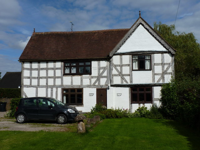
Image: © Richard Law Taken: 26 Aug 2017
A mid-to-late 16th century, timber framed manor house, with later additions. It was granted a Grade II listing https://www.britishlistedbuildings.co.uk/101254252-the-manor-house-highley#.WbjZb7J96M8 in 1989. There is extensive timber framing exposed internally, as well as that which is visible here.
Images are licensed for reuse under creativecommons.org/licenses/by-sa/2.0
Image Location
Latitude
52.44552
Longitude
-2.380572