Brentano House, at the south end of Shirehall Lane
Introduction
The photograph on this page of Brentano House, at the south end of Shirehall Lane by Christopher Hilton as part of the Geograph project.
The Geograph project started in 2005 with the aim of publishing, organising and preserving representative images for every square kilometre of Great Britain, Ireland and the Isle of Man.

There are currently over 7.5m images from over 14,400 individuals and you can help contribute to the project by visiting https://www.geograph.org.uk
Brentano House, at the south end of Shirehall Lane
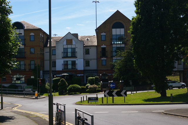
Image: © Christopher Hilton Taken: 22 May 2017
Walking down Shirehall Lane, at the southern end one encounters a little green space in the middle of a roundabout, faced by these office buildings: approaching from that angle, it is not immediately apparent that the buildings back onto the Brent Cross Flyover, with the A41 Hendon Way behind them and the A406 North Circular Road off to the left.
Images are licensed for reuse under creativecommons.org/licenses/by-sa/2.0
Image Location


Leaflet Map data © OpenStreetMap
Latitude
51.577521
Longitude
-0.219