River Ehen, below Thornhill
Introduction
The photograph on this page of River Ehen, below Thornhill by Nigel Monckton as part of the Geograph project.
The Geograph project started in 2005 with the aim of publishing, organising and preserving representative images for every square kilometre of Great Britain, Ireland and the Isle of Man.

There are currently over 7.5m images from over 14,400 individuals and you can help contribute to the project by visiting https://www.geograph.org.uk
River Ehen, below Thornhill
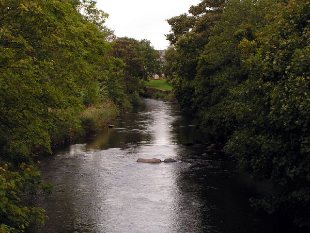
Image: © Nigel Monckton Taken: 19 Sep 2005
Taking looking north along the Ehen, from the bridge below Thornhill. Low Mill is just visible in the background
Images are licensed for reuse under creativecommons.org/licenses/by-sa/2.0
Image Location
Latitude
54.462114
Longitude
-3.534967