Field Road View
Introduction
The photograph on this page of Field Road View by John Baker as part of the Geograph project.
The Geograph project started in 2005 with the aim of publishing, organising and preserving representative images for every square kilometre of Great Britain, Ireland and the Isle of Man.

There are currently over 7.5m images from over 14,400 individuals and you can help contribute to the project by visiting https://www.geograph.org.uk
Field Road View
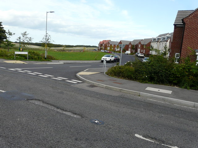
Image: © John Baker Taken: 20 Aug 2017
All traces of Abbey’s advertising boards have disappeared from the entrance to Image on the housing estate called Bowmans Place.
Images are licensed for reuse under creativecommons.org/licenses/by-sa/2.0
Image Location
Latitude
51.16636
Longitude
1.291177