Sandrock Park recreation ground south of The Ridge, Hastings
Introduction
The photograph on this page of Sandrock Park recreation ground south of The Ridge, Hastings by Patrick Roper as part of the Geograph project.
The Geograph project started in 2005 with the aim of publishing, organising and preserving representative images for every square kilometre of Great Britain, Ireland and the Isle of Man.

There are currently over 7.5m images from over 14,400 individuals and you can help contribute to the project by visiting https://www.geograph.org.uk
Sandrock Park recreation ground south of The Ridge, Hastings
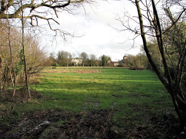
Image: © Patrick Roper Taken: 15 Jan 2007
Looking east towards St Helen's church on the right of the picture.
Images are licensed for reuse under creativecommons.org/licenses/by-sa/2.0
Image Location
Latitude
50.882704
Longitude
0.585504