Staplehurst: view from the churchyard
Introduction
The photograph on this page of Staplehurst: view from the churchyard by Stefan Czapski as part of the Geograph project.
The Geograph project started in 2005 with the aim of publishing, organising and preserving representative images for every square kilometre of Great Britain, Ireland and the Isle of Man.

There are currently over 7.5m images from over 14,400 individuals and you can help contribute to the project by visiting https://www.geograph.org.uk
Staplehurst: view from the churchyard
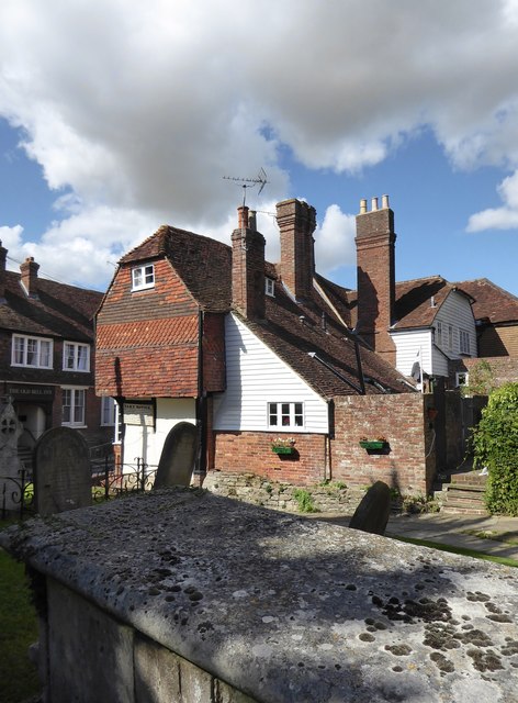
Image: © Stefan Czapski Taken: 9 Sep 2017
Churchyard and neighbouring cottages mingle in a curious way - there seems to be no firm boundary between the cottage gardens and the burial ground.
Images are licensed for reuse under creativecommons.org/licenses/by-sa/2.0
Image Location


Leaflet Map data © OpenStreetMap
Latitude
51.158199
Longitude
0.552538