St Thomas the Apostle, Navestock
Introduction
The photograph on this page of St Thomas the Apostle, Navestock by Robin Webster as part of the Geograph project.
The Geograph project started in 2005 with the aim of publishing, organising and preserving representative images for every square kilometre of Great Britain, Ireland and the Isle of Man.

There are currently over 7.5m images from over 14,400 individuals and you can help contribute to the project by visiting https://www.geograph.org.uk
St Thomas the Apostle, Navestock
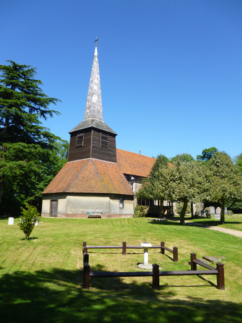
Image: © Robin Webster Taken: 26 May 2012
A grade I listed building, 11th/12th century, largely rebuilt in the 13th/14th centuries and repaired after a land mine exploded in the churchyard in 1940. The sundial in the foreground is where the mine came down.
Images are licensed for reuse under creativecommons.org/licenses/by-sa/2.0
Image Location
Latitude
51.663005
Longitude
0.225664