Loading up the Harvest
Introduction
The photograph on this page of Loading up the Harvest by David Sands as part of the Geograph project.
The Geograph project started in 2005 with the aim of publishing, organising and preserving representative images for every square kilometre of Great Britain, Ireland and the Isle of Man.

There are currently over 7.5m images from over 14,400 individuals and you can help contribute to the project by visiting https://www.geograph.org.uk
Loading up the Harvest
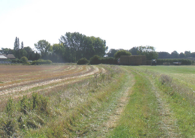
Image: © David Sands Taken: 11 Sep 2007
Along the bridleway from Holme to Edworth, a tractor is seen loading bales onto a lorry.
Images are licensed for reuse under creativecommons.org/licenses/by-sa/2.0
Image Location


Leaflet Map data © OpenStreetMap
Latitude
52.060511
Longitude
-0.238946