Myrtle Road
Introduction
The photograph on this page of Myrtle Road by Ian Capper as part of the Geograph project.
The Geograph project started in 2005 with the aim of publishing, organising and preserving representative images for every square kilometre of Great Britain, Ireland and the Isle of Man.

There are currently over 7.5m images from over 14,400 individuals and you can help contribute to the project by visiting https://www.geograph.org.uk
Myrtle Road
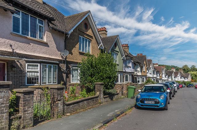
Image: © Ian Capper Taken: 11 Aug 2017
1910s/20s housing in a street running from Church Street down to the Pippbrook.
Images are licensed for reuse under creativecommons.org/licenses/by-sa/2.0
Image Location
Latitude
51.232637
Longitude
-0.33561