Burkitt Lane
Introduction
The photograph on this page of Burkitt Lane by Hugh Venables as part of the Geograph project.
The Geograph project started in 2005 with the aim of publishing, organising and preserving representative images for every square kilometre of Great Britain, Ireland and the Isle of Man.

There are currently over 7.5m images from over 14,400 individuals and you can help contribute to the project by visiting https://www.geograph.org.uk
Burkitt Lane
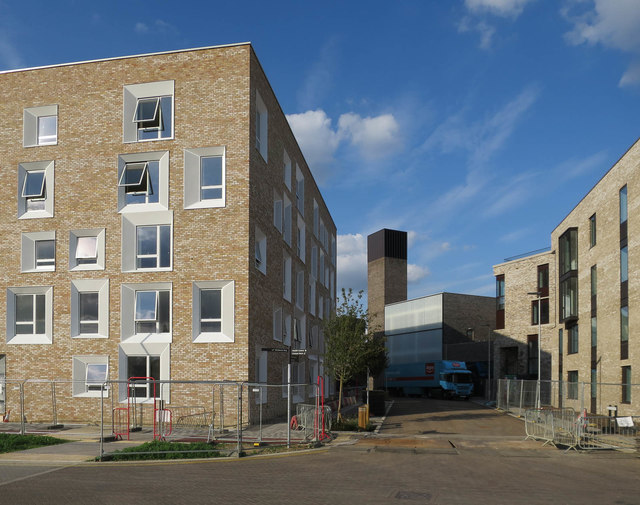
Image: © Hugh Venables Taken: 1 Sep 2017
Looking towards the energy centre that supplies the district heating. The properties have three water pipes - potable, non-potable (partially treated rainwater) and hot water.
Images are licensed for reuse under creativecommons.org/licenses/by-sa/2.0
Image Location
Latitude
52.216958
Longitude
0.086805