Path descending from Newchurch Road, Ebbw Vale
Introduction
The photograph on this page of Path descending from Newchurch Road, Ebbw Vale by Jaggery as part of the Geograph project.
The Geograph project started in 2005 with the aim of publishing, organising and preserving representative images for every square kilometre of Great Britain, Ireland and the Isle of Man.

There are currently over 7.5m images from over 14,400 individuals and you can help contribute to the project by visiting https://www.geograph.org.uk
Path descending from Newchurch Road, Ebbw Vale
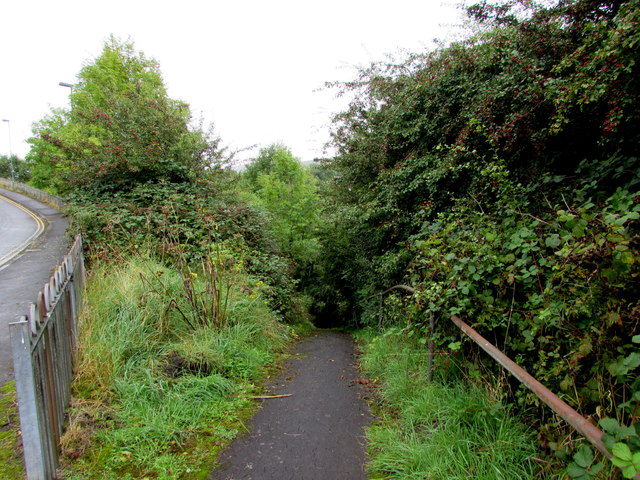
Image: © Jaggery Taken: 10 Sep 2017
Towards Pont-y-Gof and Station Approach.
Images are licensed for reuse under creativecommons.org/licenses/by-sa/2.0
Image Location
Latitude
51.783554
Longitude
-3.20534