Babbington Village
Introduction
The photograph on this page of Babbington Village by John Sutton as part of the Geograph project.
The Geograph project started in 2005 with the aim of publishing, organising and preserving representative images for every square kilometre of Great Britain, Ireland and the Isle of Man.

There are currently over 7.5m images from over 14,400 individuals and you can help contribute to the project by visiting https://www.geograph.org.uk
Babbington Village
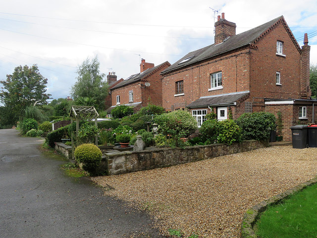
Image: © John Sutton Taken: 8 Sep 2017
Babbington is a tiny community between Kimberley and Awsworth, approached along a bridle way from Awsworth. These houses were built for colliers, but it's now a long time since coal was mined in the pretty rolling country on the eastern side of the Erewash Valley, between Ilkeston and the western edge of Nottingham.
Images are licensed for reuse under creativecommons.org/licenses/by-sa/2.0
Image Location
Latitude
52.98649
Longitude
-1.26753