Farm track at Melvich
Introduction
The photograph on this page of Farm track at Melvich by Alan Reid as part of the Geograph project.
The Geograph project started in 2005 with the aim of publishing, organising and preserving representative images for every square kilometre of Great Britain, Ireland and the Isle of Man.

There are currently over 7.5m images from over 14,400 individuals and you can help contribute to the project by visiting https://www.geograph.org.uk
Farm track at Melvich
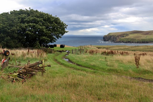
Image: © Alan Reid Taken: 28 Aug 2017
The headland at Rubha an Tuir is across Melvich Bay. Orkney is visible on the horizon.
Images are licensed for reuse under creativecommons.org/licenses/by-sa/2.0
Image Location
Latitude
58.558693
Longitude
-3.93116