Warley Hill, B186
Introduction
The photograph on this page of Warley Hill, B186 by Robin Webster as part of the Geograph project.
The Geograph project started in 2005 with the aim of publishing, organising and preserving representative images for every square kilometre of Great Britain, Ireland and the Isle of Man.

There are currently over 7.5m images from over 14,400 individuals and you can help contribute to the project by visiting https://www.geograph.org.uk
Warley Hill, B186
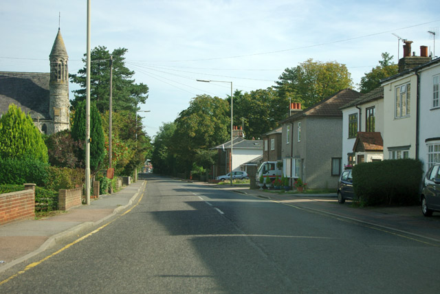
Image: © Robin Webster Taken: 15 Sep 2011
On the left is Warley Roman Catholic church, Holy Cross and All Saints, a grade II listed building of 1881.
Images are licensed for reuse under creativecommons.org/licenses/by-sa/2.0
Image Location
Latitude
51.603232
Longitude
0.294224