Crookbarrow Hill
Introduction
The photograph on this page of Crookbarrow Hill by Bob Embleton as part of the Geograph project.
The Geograph project started in 2005 with the aim of publishing, organising and preserving representative images for every square kilometre of Great Britain, Ireland and the Isle of Man.

There are currently over 7.5m images from over 14,400 individuals and you can help contribute to the project by visiting https://www.geograph.org.uk
Crookbarrow Hill
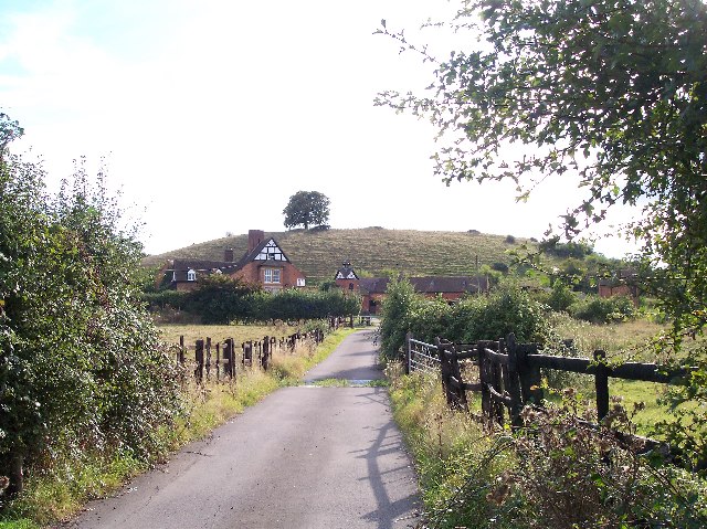
Image: © Bob Embleton Taken: 19 Sep 2005
Behind Crookbarrow Farm. On top of this tump is a well known landmark for M5 users - a chestnut tree (according to our Geocache cousins).
Images are licensed for reuse under creativecommons.org/licenses/by-sa/2.0
Image Location


Leaflet Map data © OpenStreetMap
Latitude
52.16864
Longitude
-2.184765