Near Upper Farm: Upper Woolhampton
Introduction
The photograph on this page of Near Upper Farm: Upper Woolhampton by Pam Brophy as part of the Geograph project.
The Geograph project started in 2005 with the aim of publishing, organising and preserving representative images for every square kilometre of Great Britain, Ireland and the Isle of Man.

There are currently over 7.5m images from over 14,400 individuals and you can help contribute to the project by visiting https://www.geograph.org.uk
Near Upper Farm: Upper Woolhampton
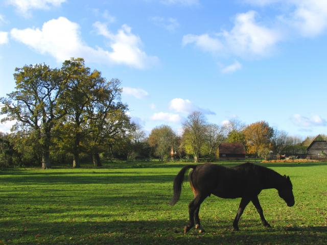
Image: © Pam Brophy Taken: Unknown
Farm and stables on the south side of the road and the south side of Kiff Green, en route to the Douai Abbey. The horses here are very friendly and like to come up to the fence when one walks past. This square is largely farmland, with two farms and the Douai Abbey.
Images are licensed for reuse under creativecommons.org/licenses/by-sa/2.0
Image Location


Leaflet Map data © OpenStreetMap
Latitude
51.412613
Longitude
-1.174609