Welsh Lane near Boycott Manor Farm
Introduction
The photograph on this page of Welsh Lane near Boycott Manor Farm by David Smith as part of the Geograph project.
The Geograph project started in 2005 with the aim of publishing, organising and preserving representative images for every square kilometre of Great Britain, Ireland and the Isle of Man.

There are currently over 7.5m images from over 14,400 individuals and you can help contribute to the project by visiting https://www.geograph.org.uk
Welsh Lane near Boycott Manor Farm
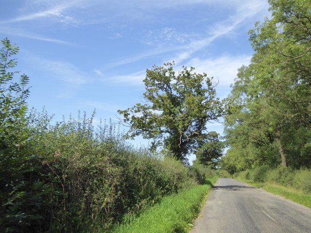
Image: © David Smith Taken: 25 Aug 2017
On the left the hedge has occasional trees; on the right there is a screening belt of trees
Images are licensed for reuse under creativecommons.org/licenses/by-sa/2.0
Image Location
Latitude
52.030091
Longitude
-1.049013