Soil slumping in field on Holbans Estate
Introduction
The photograph on this page of Soil slumping in field on Holbans Estate by Patrick Roper as part of the Geograph project.
The Geograph project started in 2005 with the aim of publishing, organising and preserving representative images for every square kilometre of Great Britain, Ireland and the Isle of Man.

There are currently over 7.5m images from over 14,400 individuals and you can help contribute to the project by visiting https://www.geograph.org.uk
Soil slumping in field on Holbans Estate
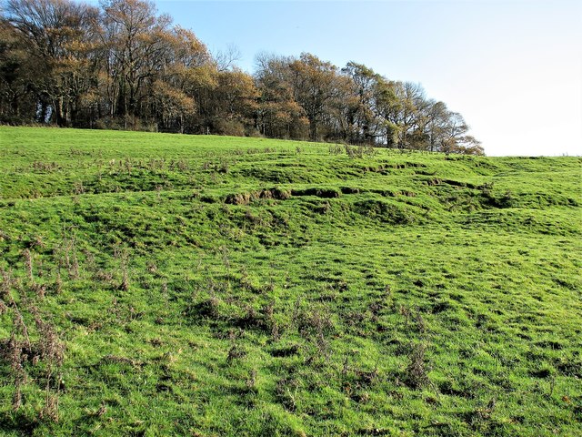
Image: © Patrick Roper Taken: 29 Nov 2006
This field is on the Purbeck limestone formation in the geological centre of the Weald.
Images are licensed for reuse under creativecommons.org/licenses/by-sa/2.0
Image Location


Leaflet Map data © OpenStreetMap
Latitude
50.978744
Longitude
0.320999