Luxton's Steps
Introduction
The photograph on this page of Luxton's Steps by Derek Harper as part of the Geograph project.
The Geograph project started in 2005 with the aim of publishing, organising and preserving representative images for every square kilometre of Great Britain, Ireland and the Isle of Man.

There are currently over 7.5m images from over 14,400 individuals and you can help contribute to the project by visiting https://www.geograph.org.uk
Luxton's Steps
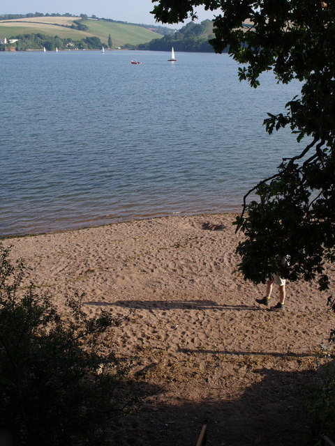
Image: © Derek Harper Taken: 8 Sep 2007
Bishopsteignton Footpath 13 descends a flight of steps to reach the foreshore at Luxton's Steps on the Teign estuary, where there is a group of late C19 riverside workers' chalets. On the far side of the estuary is Arch Brook.
Images are licensed for reuse under creativecommons.org/licenses/by-sa/2.0
Image Location


Leaflet Map data © OpenStreetMap
Latitude
50.544846
Longitude
-3.547912