Canal Junction on the River Lea Navigation
Introduction
The photograph on this page of Canal Junction on the River Lea Navigation by Chris Heaton as part of the Geograph project.
The Geograph project started in 2005 with the aim of publishing, organising and preserving representative images for every square kilometre of Great Britain, Ireland and the Isle of Man.

There are currently over 7.5m images from over 14,400 individuals and you can help contribute to the project by visiting https://www.geograph.org.uk
Canal Junction on the River Lea Navigation
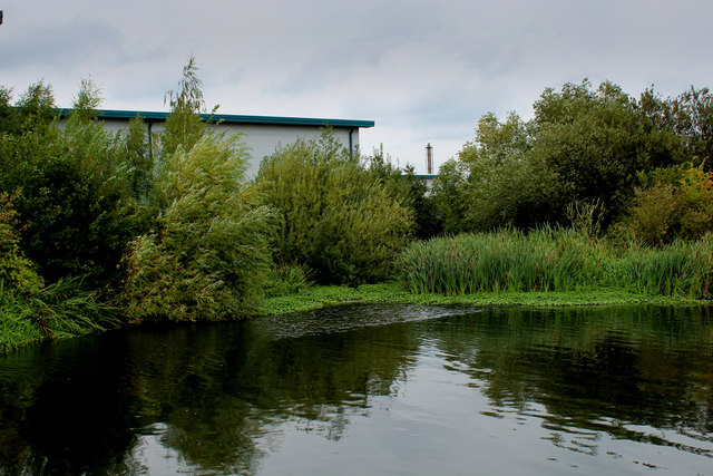
Image: © Chris Heaton Taken: 3 Sep 2017
Choked with various forms of aquatic vegetation, the junction is easy to miss.
Images are licensed for reuse under creativecommons.org/licenses/by-sa/2.0
Image Location
Latitude
51.65063
Longitude
-0.022431