Path in Dagnam Park
Introduction
The photograph on this page of Path in Dagnam Park by Marathon as part of the Geograph project.
The Geograph project started in 2005 with the aim of publishing, organising and preserving representative images for every square kilometre of Great Britain, Ireland and the Isle of Man.

There are currently over 7.5m images from over 14,400 individuals and you can help contribute to the project by visiting https://www.geograph.org.uk
Path in Dagnam Park
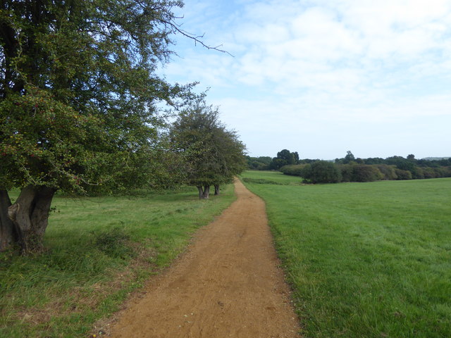
Image: © Marathon Taken: 6 Sep 2017
Most of the grounds of Dagnam Park were originally part of the Dagnam Estate, former home of the Wrights who lived here from 1600 to 1750, and later of the Neaves. At the northern end is the site of the original mansion, described by Samuel Pepys in 1665 as the most noble and pretty house for its size he had ever seen. An impression of its size can be seen from the fact that it had 24 hearths and was built round a courtyard with a square moat. It was demolished in the 1950s following vandalism. Dagnam Park was bought in 1947 along with the surrounding land by the London County Council for the building of the Harold Hill Estate between 1948 and 1958. Much fuller accounts of the history can be seen at http://www.londongardenstrust.org/features/dagnam.htm and http://www.friendsofdagnampark.org.uk/history_of_%20dagnam_park/the_history_of_dagnam_park.htm This southern part is known as The Manor Nature Reserve.
Images are licensed for reuse under creativecommons.org/licenses/by-sa/2.0
Image Location
Latitude
51.613569
Longitude
0.238555