Westgate, Guisborough
Introduction
The photograph on this page of Westgate, Guisborough by G Laird as part of the Geograph project.
The Geograph project started in 2005 with the aim of publishing, organising and preserving representative images for every square kilometre of Great Britain, Ireland and the Isle of Man.

There are currently over 7.5m images from over 14,400 individuals and you can help contribute to the project by visiting https://www.geograph.org.uk
Westgate, Guisborough
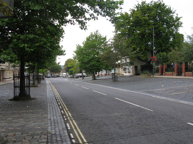
Image: © G Laird Taken: 6 Sep 2017
Westgate is the attractive main road through Guisborough. The western end is residential and the eastern end is the main shopping area of Guisborough. The parking areas are cobbled. This was formerly the busy A171 prior to the A171 bypassing Guisborough.
Images are licensed for reuse under creativecommons.org/licenses/by-sa/2.0
Image Location
Latitude
54.534771
Longitude
-1.055409