Signposts and Lane Junction in Slade Hooton
Introduction
The photograph on this page of Signposts and Lane Junction in Slade Hooton by Jonathan Clitheroe as part of the Geograph project.
The Geograph project started in 2005 with the aim of publishing, organising and preserving representative images for every square kilometre of Great Britain, Ireland and the Isle of Man.

There are currently over 7.5m images from over 14,400 individuals and you can help contribute to the project by visiting https://www.geograph.org.uk
Signposts and Lane Junction in Slade Hooton
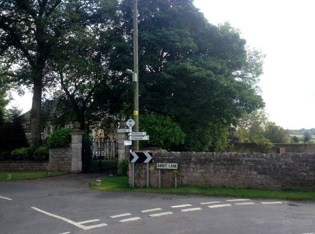
Image: © Jonathan Clitheroe Taken: 2 Sep 2017
Partially visible on the left is Slade Hooton Hall, built in the 'William and Mary' style and one of the finest houses in the area.
Images are licensed for reuse under creativecommons.org/licenses/by-sa/2.0
Image Location
Latitude
53.397574
Longitude
-1.213119